Civil engineering for residential land development in San Diego and Riverside Counties, and conservation engineering projects across California.
01
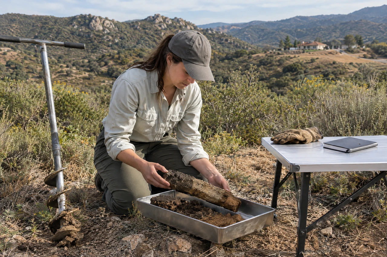
Septic & OWTS
site and soil investigation for onsite wastewater planningi
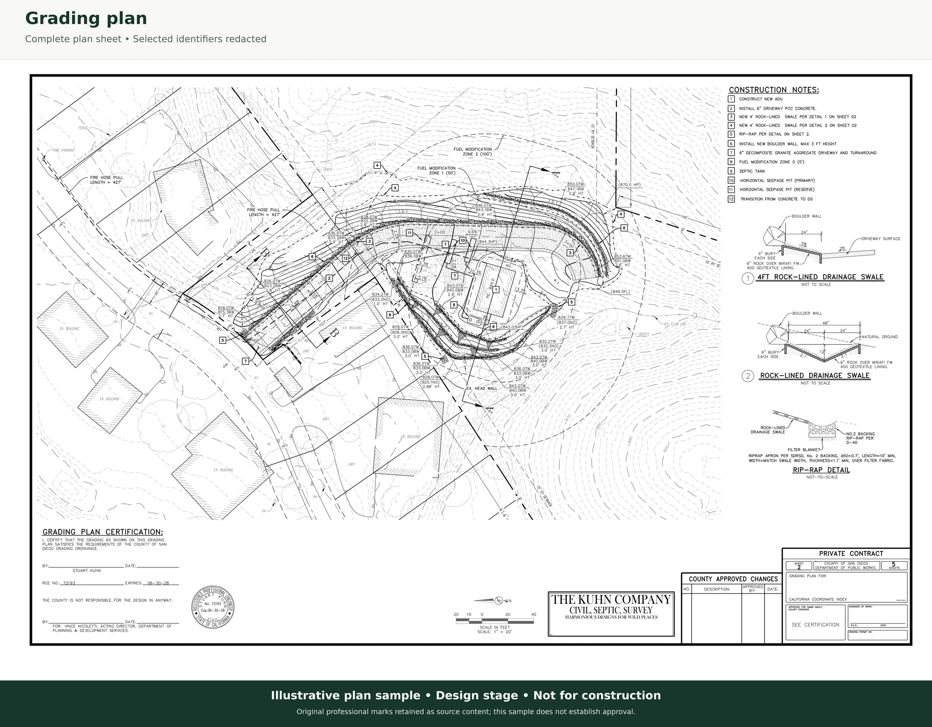
Service scenes are conceptual visualizations, not photographs of completed Quenched Earth projects. The grading sheet is an actual anonymized design-stage sample.
Site and soil evaluation, percolation testing and septic system design for properties beyond the sewer network. Testing, design and permit documentation are defined for the property and its reviewing agency.
Percolation testing · System design · Permit documentation
Planning a new home, ADU, addition or septic replacement? See the San Diego County process, what to gather and which costs to expect.
Service scenes are conceptual visualizations, not photographs of completed Quenched Earth projects. The grading sheet is an actual anonymized design-stage sample.
Understand runoff and plan how water is conveyed, managed and treated across the site.
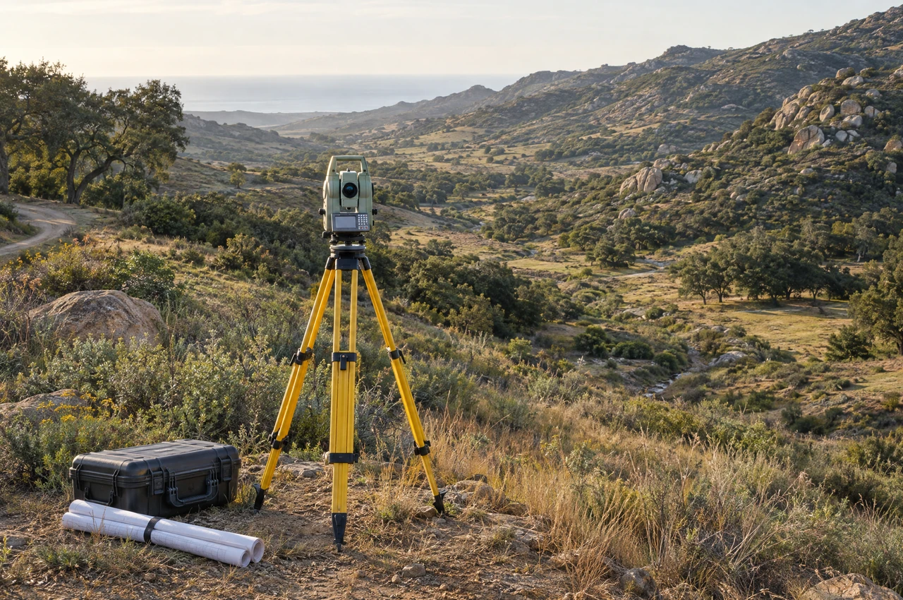
evaluating terrain and access before detailed designi
Service scenes are conceptual visualizations, not photographs of completed Quenched Earth projects. The grading sheet is an actual anonymized design-stage sample.
Explore site constraints and engineering needs before committing to the next stage of development.
Early site review · Development constraints · Project scoping
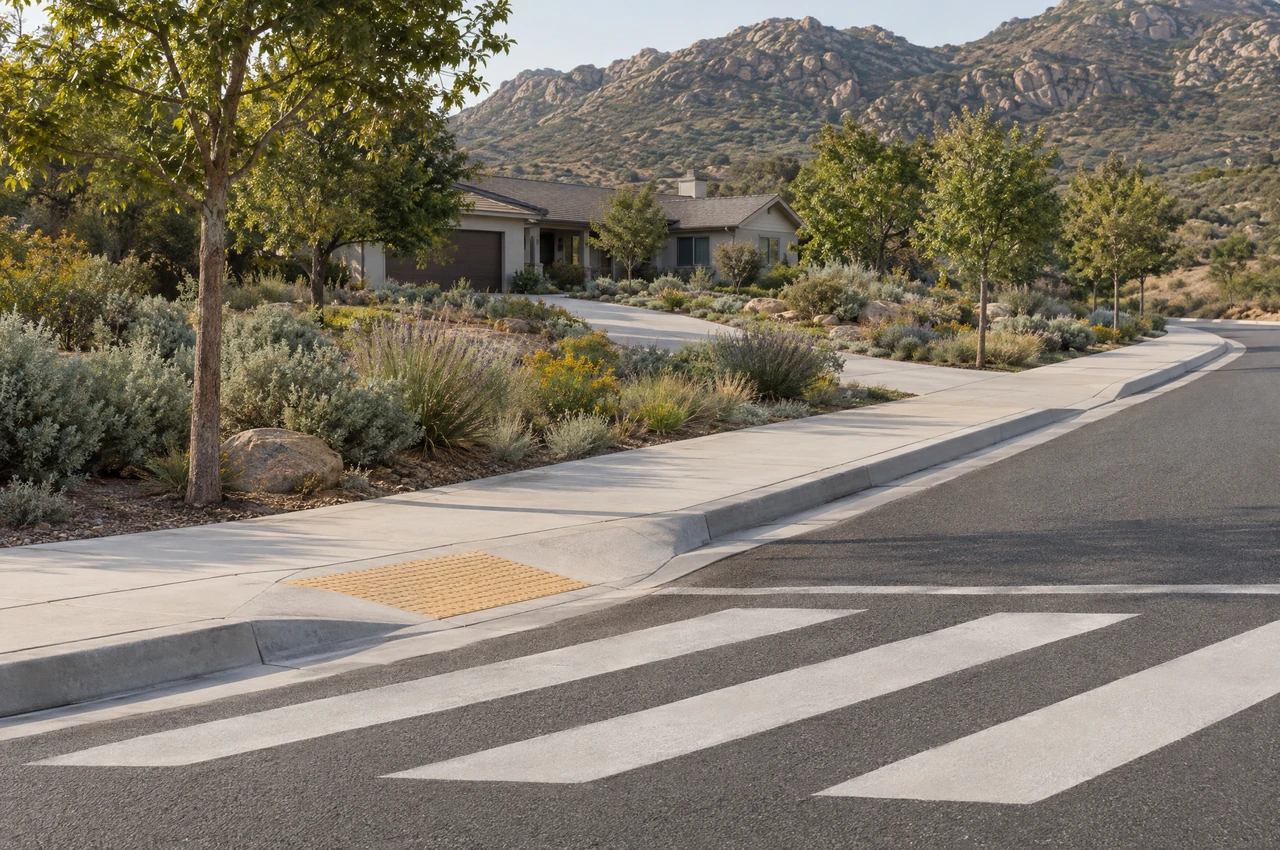
coordinating street, pedestrian and property accessi
Service scenes are conceptual visualizations, not photographs of completed Quenched Earth projects. The grading sheet is an actual anonymized design-stage sample.
Engineering for the access and public-facing improvements that connect a project to its surroundings.
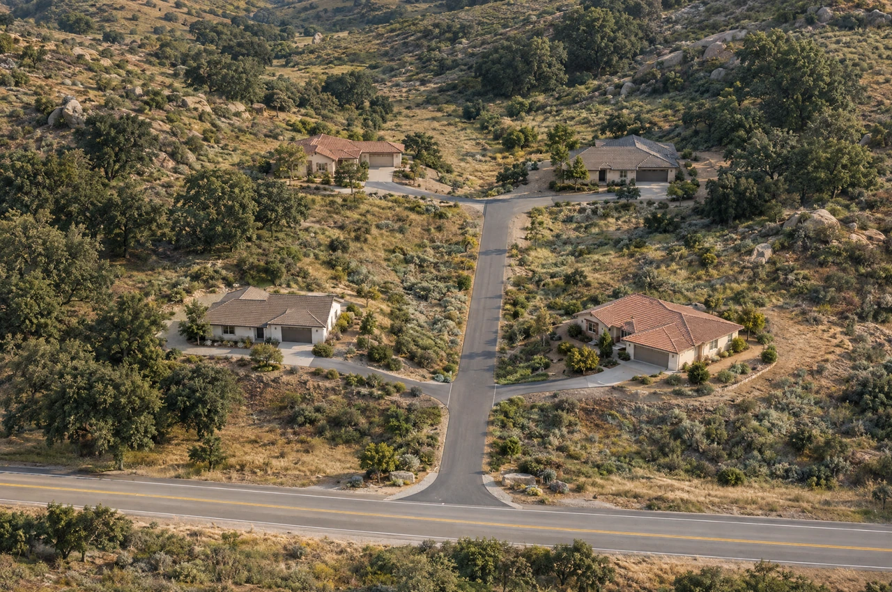
coordinating a small land division and shared infrastructurei
Service scenes are conceptual visualizations, not photographs of completed Quenched Earth projects. The grading sheet is an actual anonymized design-stage sample.
Civil engineering coordination for residential land divisions and their supporting infrastructure.
Lot layout · Infrastructure design · Entitlement support
Service scenes are conceptual visualizations, not photographs of completed Quenched Earth projects. The grading sheet is an actual anonymized design-stage sample.
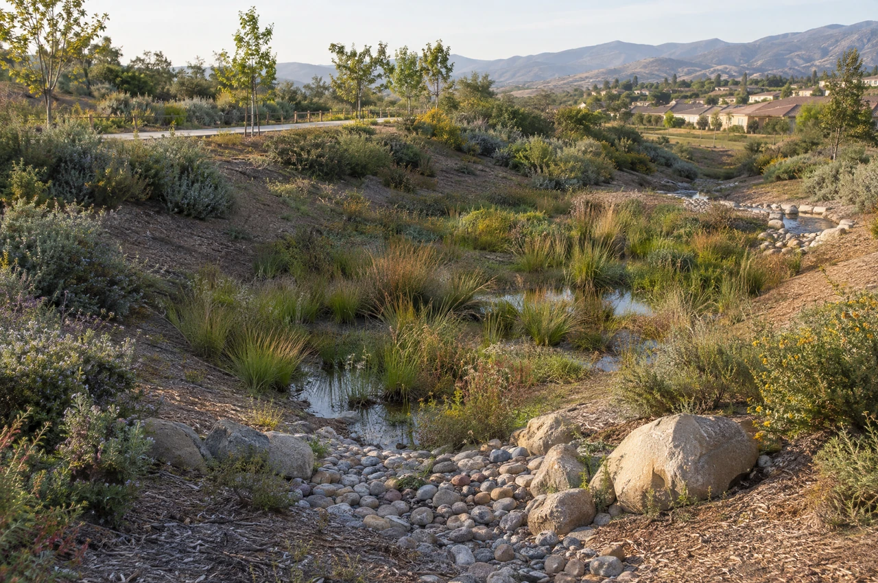
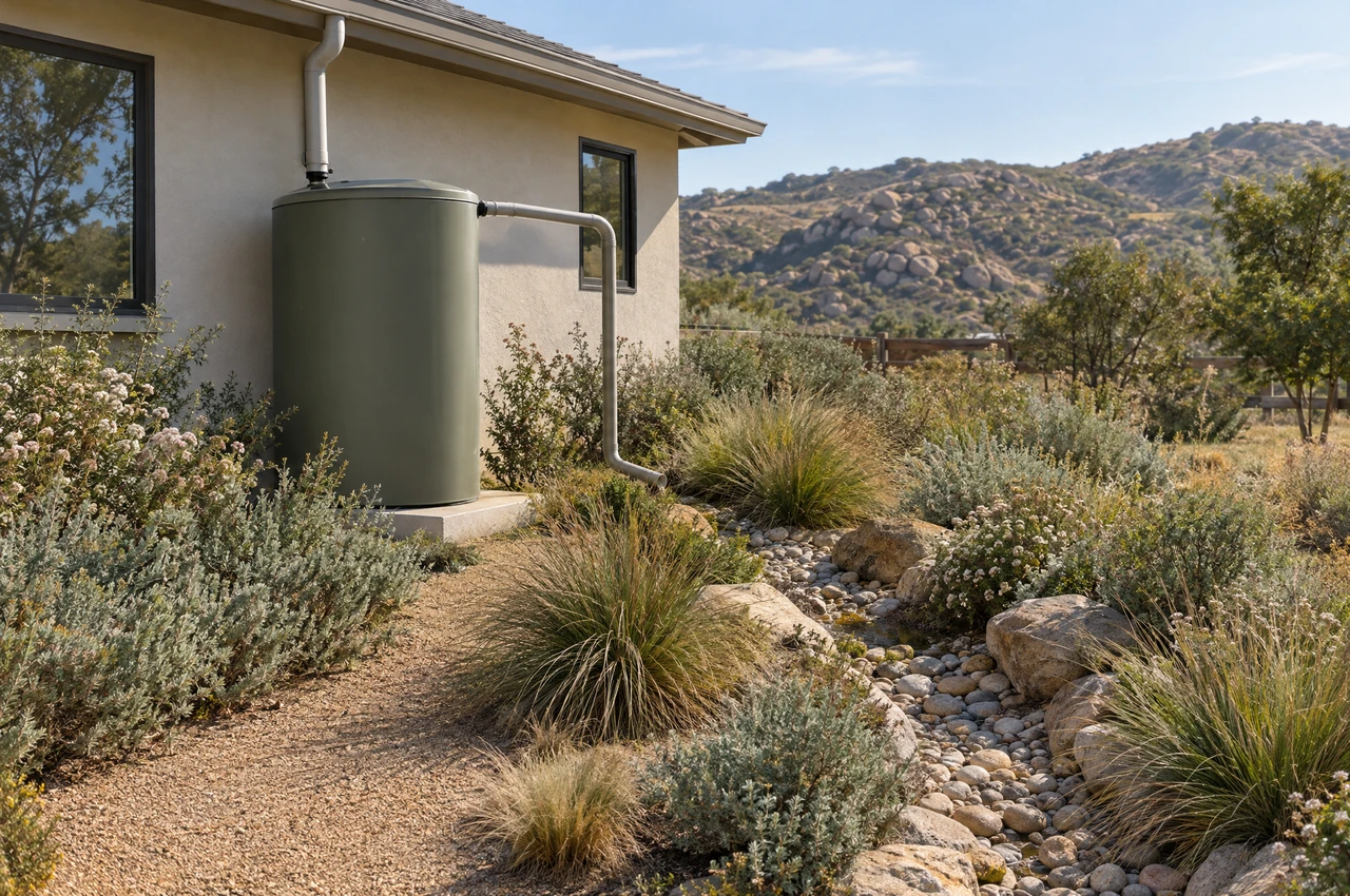
Explore active roof-water capture, passive landscape harvesting and suitable graywater irrigation alongside soil-building and soil-management practices within the civil site plan. Potable-rainwater feasibility and keyline-informed terrain planning can be evaluated as separate, site-specific goals. The right combination depends on water sources, soils, topography, landscape needs and local requirements.
Service scenes are conceptual visualizations, not photographs of completed Quenched Earth projects. The grading sheet is an actual anonymized design-stage sample.
Engineering design and technical assistance for conservation projects in California, led by NRCS-certified Technical Service Provider Stuart Kuhn, P.E.
Water harvesting catchments · Stormwater runoff control · Ponds and drainage · Waterways and stream crossings · Erosion and sediment-control structures
Stuart’s individual certification covers 17 conservation engineering practices. We confirm the approved practice, deliverables, site conditions and applicable NRCS requirements for each project. NRCS determines program eligibility and funding.
View the certified conservation practices
California standards and published practice specifications are linked below. Project-specific design details and applicable local requirements still apply.
For Open Channel (582), Sediment Basin (350), and Water Harvesting Catchment (636), a separate practice specification is not published. Request applicable specifications and design details through the NRCS Area Engineer or State Conservation Engineer; see the California practice index (PDF).
Links checked 11 October 2026. Use each practice’s supporting documents to check for later revisions.
California · Individual TSP-26-51883 · Certification valid through 29 September 2029
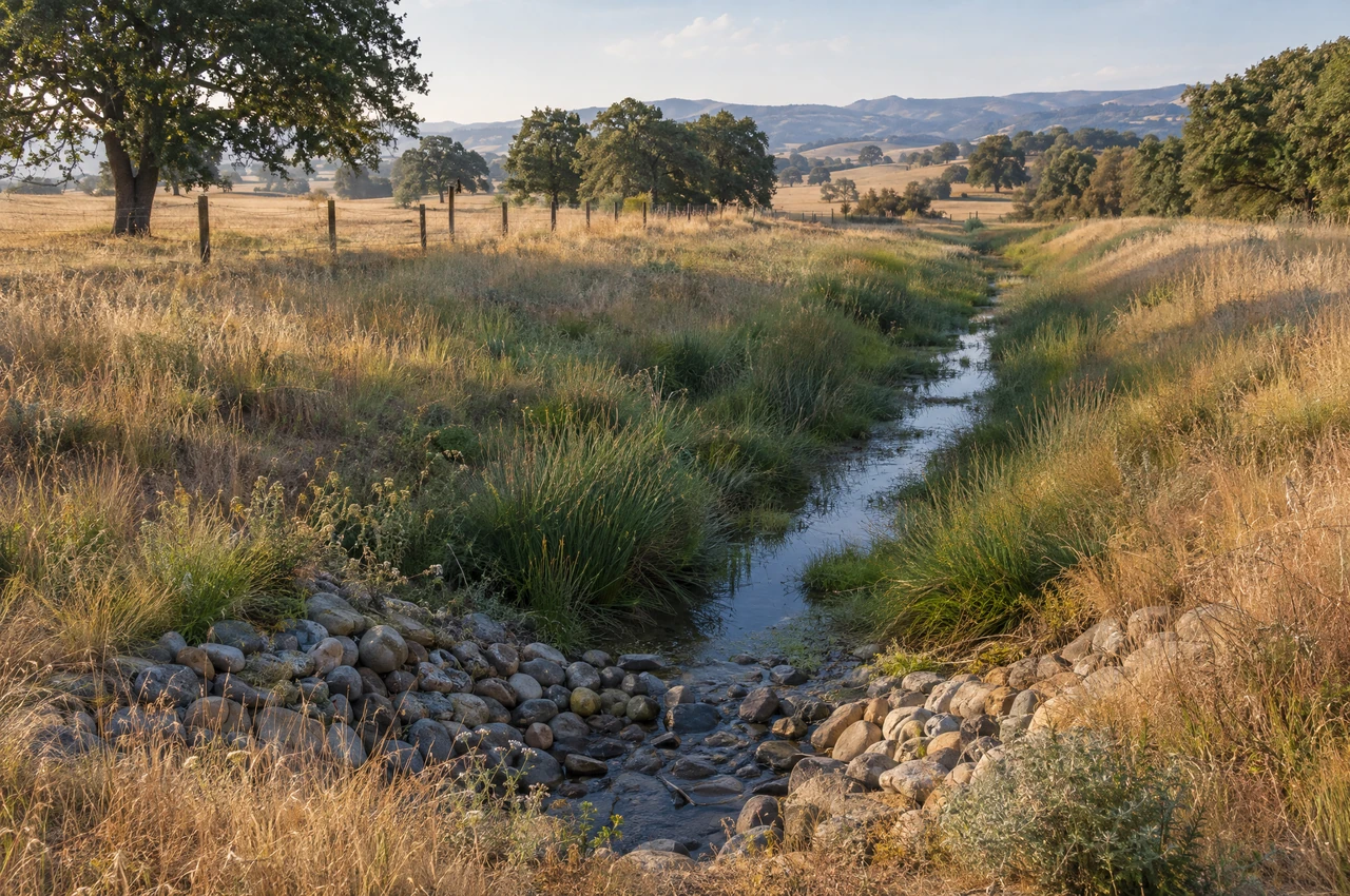
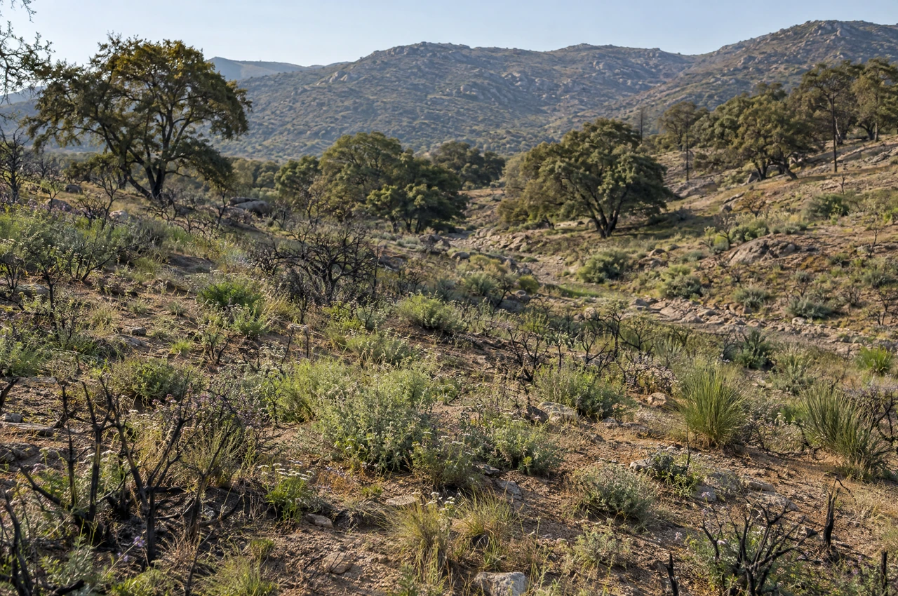
observing watershed conditions and native recovery after firei
Service scenes are conceptual visualizations, not photographs of completed Quenched Earth projects. The grading sheet is an actual anonymized design-stage sample.
We welcome conversations about restoring degraded landscapes, improving watershed function and planning recovery after fire. The first step is a site-specific assessment that defines the engineering questions, ecological goals, needed specialists and an appropriate scope.
Soil condition, slope stability, safe overflow and downstream risk guide the choice of measures. Emergency stabilization and longer-term restoration may require different responses; infiltration or earthworks should follow that assessment.
Watershed and drainage assessment · Erosion and sediment planning · Native ecosystem recovery coordination · Phased implementation and maintenance
Survey scope and base information coordinated with qualified, appropriately licensed surveying professionals. The proposal identifies the responsible surveyor, deliverables and relationship to the civil engineering work.
Survey coordination · Existing records · Project base information
Site-plan preparation and coordination using available base information and the proposed building, access, drainage and utility layout. Required survey work and supporting studies are identified separately.
Existing conditions · Proposed improvements · Plan coordination
Project-based civil engineering, site-planning and stormwater coordination. Scope, deliverables, review responsibilities and any specialist roles are established for the assignment.
Civil engineering · Planning coordination · Stormwater support
Review access, landform, drainage and wastewater needs alongside your intended use. Early engineering questions help define what to investigate and which plans belong in the project scope.
Consider how an addition, access improvement or landscape-water project relates to existing grades, drainage and wastewater systems. Establish the civil scope before committing to improvements.
Existing conditions and proposed changes
Drainage, soil and water-system relationships
Priorities, constraints and an appropriate sequence
Start with what you have observed, when it occurs and any available plans or agency comments. Determine what testing, calculations or specialist investigation is needed before selecting a solution.
An initial assessment can help turn broad questions into a practical next step. Before work begins, the written proposal identifies the assessment area, information to review and which deliverables are included.
01
A property brief
Your goals, the available records, known conditions and the questions the assessment will address.
02
Findings and open questions
A concise account of observed constraints and opportunities, distinguishing evidence from assumptions and missing information.
03
Priorities and next investigations
The decisions to make first, additional testing or specialist input needed, and dependencies between improvements.
04
A path to defined work
A review conversation and an outline of the next engineering scope or phases, providing a basis for the next proposal.
The right scope depends on the property, the proposed work and the reviewing agency. Start with what you know; we can discuss what is still needed.
What should I bring to the first conversation?
Your site address or assessor's parcel number, a short description of the proposed work, and any available surveys, plans, prior approvals or agency comments. You do not need a complete package to begin a discussion.
What if I am still deciding whether a site is feasible?
Start with a feasibility discussion. Access, topography, drainage and wastewater needs can shape the scope of a project before detailed civil plans are prepared.
Does a civil plan guarantee an approval?
No. Requirements and approvals depend on the project and the responsible agencies. The engineering scope and review process should be confirmed for each site.
Know the next step.
An initial conversation leads to a proposed scope and written proposal for your review.
Professional fees depend on the property, available records, testing, design deliverables and agency coordination. The San Diego OWTS guide explains the County fee categories.
The proposal identifies deliverables, responsibilities, fees, agency coordination and any specialist work. Site visits, surveys, testing, calculations, specialist studies and construction documents are included only when stated. Preliminary findings do not certify safety or guarantee approval. Agency charges, outside investigations and construction are separate costs.